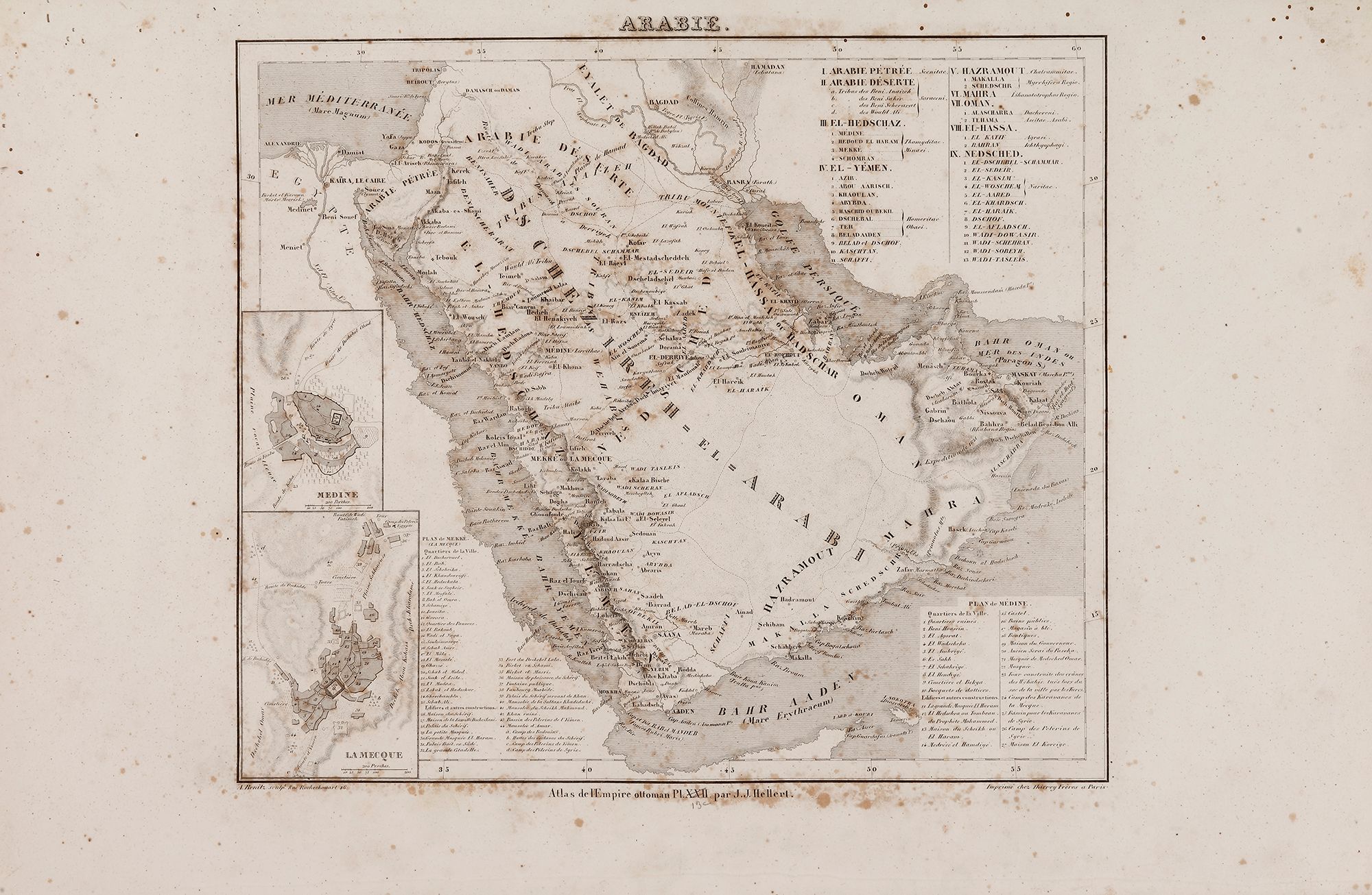
A RARE NON COLORED PRINTED FRENCH MAP OF THE ARABIC WORLD DURING THE OTTOMAN EMPIRE (ARABIA PENINSULA) BY J.J. HELLERT, DATED 1850
Reference: ART4001068
Printed in black and white on thick paper. The continent showing the city/town names, such as Hejaz, Yemen, Hadramout, Najid, and the Arabian desert. An important insert showing two maps of Mecca and Medina, the lower-left corner.
52 by 34 cm.