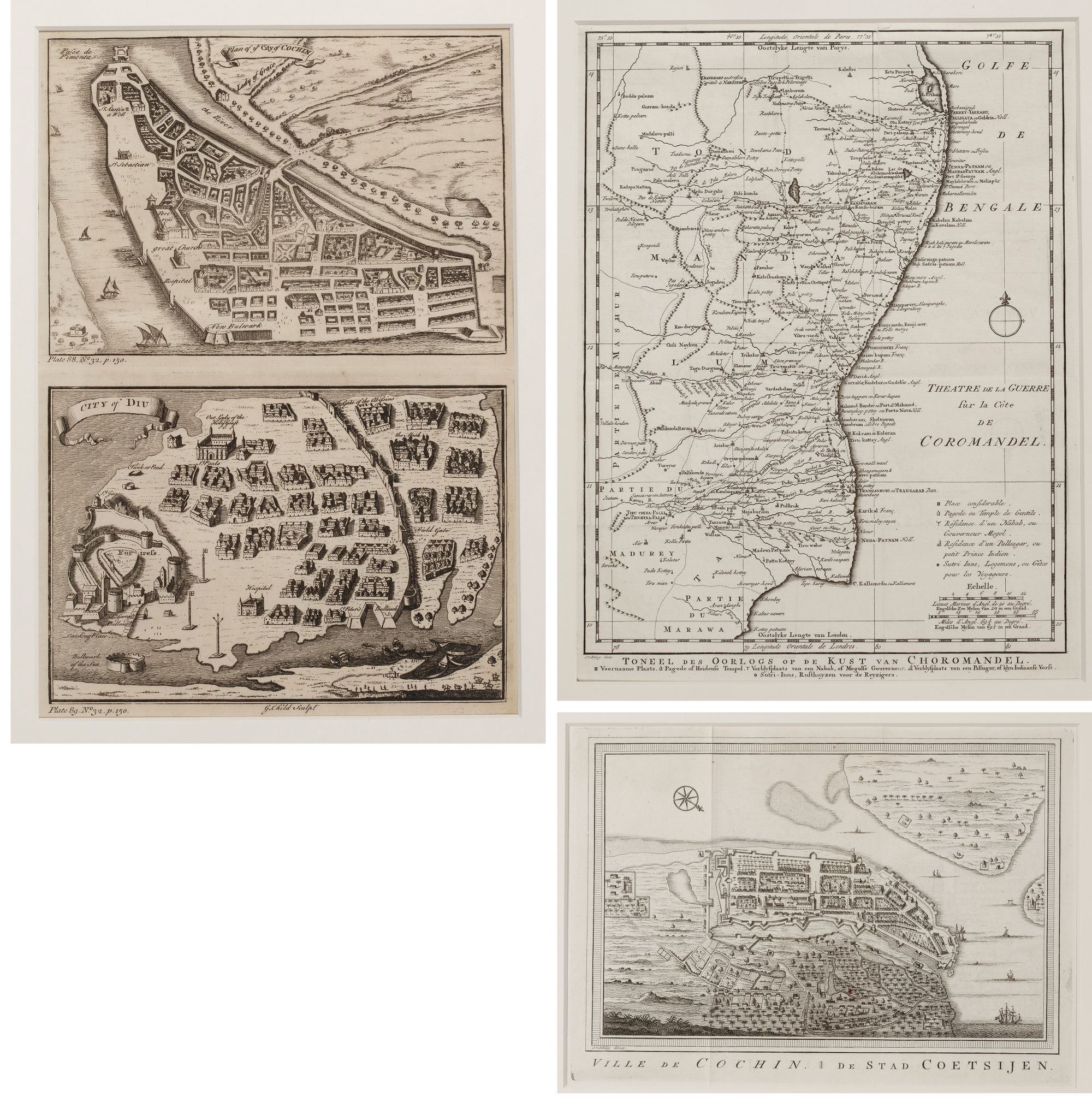
THREE HISTORICAL ENGRAVINGS OF THE COROMANDEL COAST, COCHIN AND DIU
Reference: ART700660
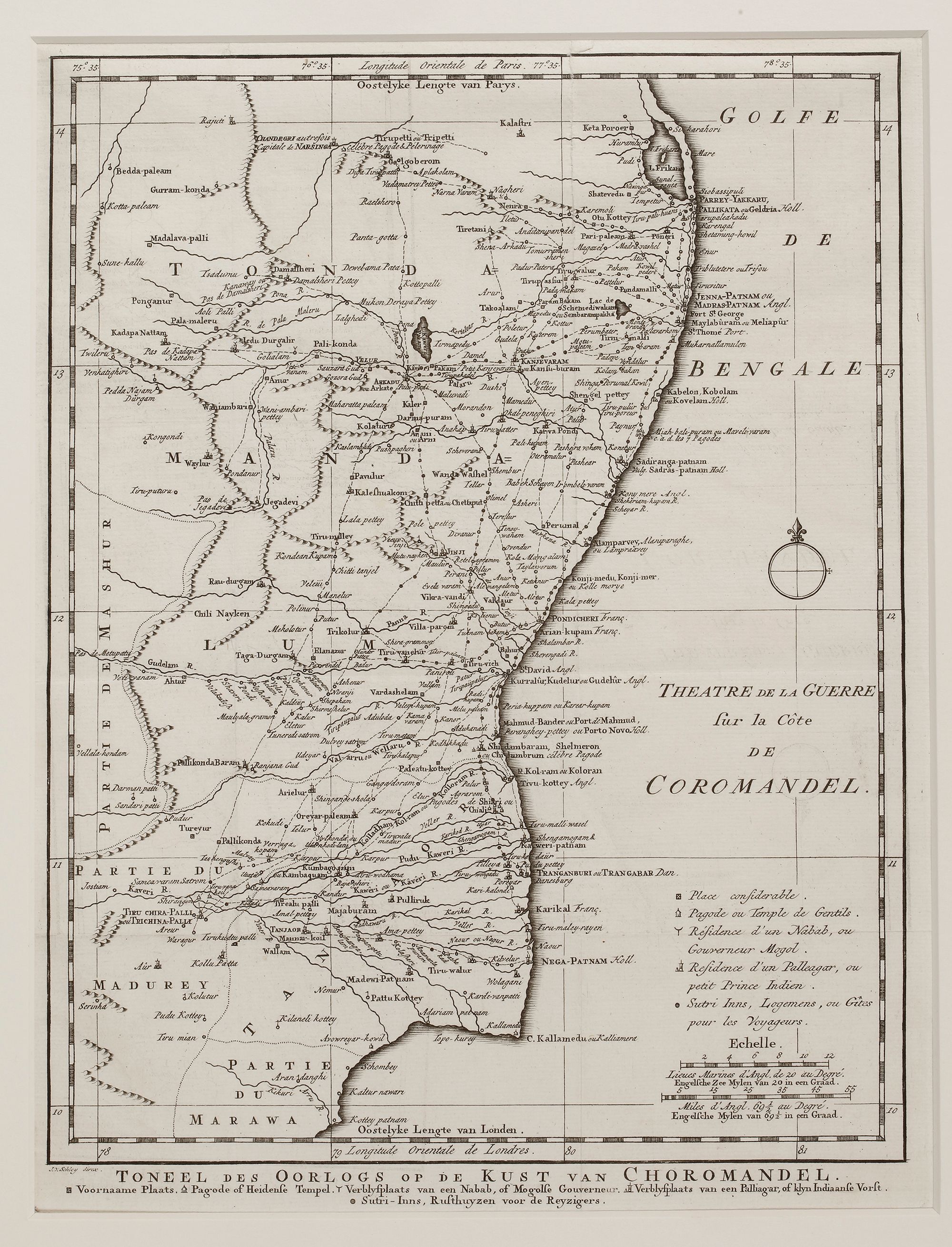
- Map of the Coromandel Coast A historical map detailing the Coromandel Coast of India, highlighting key cities, forts, and strategic locations involved in colonial conflicts. The map provides insight into the region’s geopolitical significance during the 18th century.
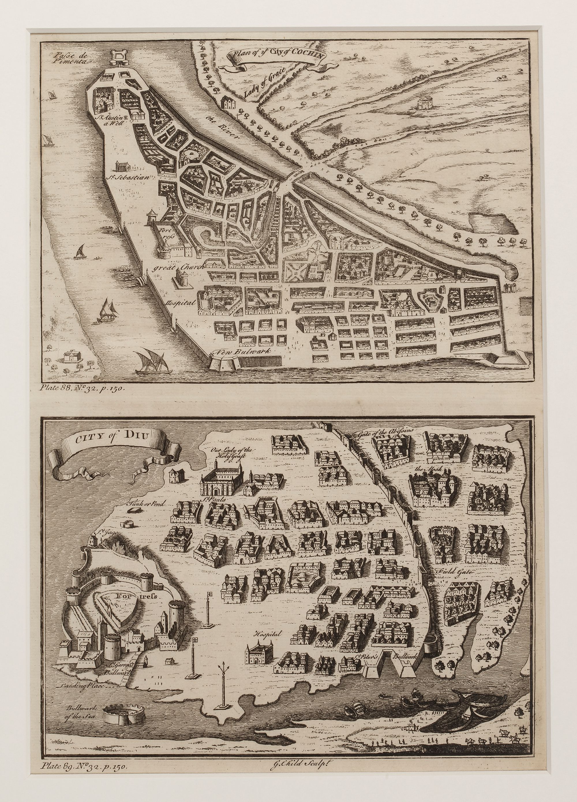
- Plans of the cities Cochin and Diu Two engraved city plans of Cochin (top) and Diu (bottom), important colonial settlements in India. The maps illustrate fortified structures, European trading posts, and urban layouts, reflecting the influence of Portuguese and Dutch rule.
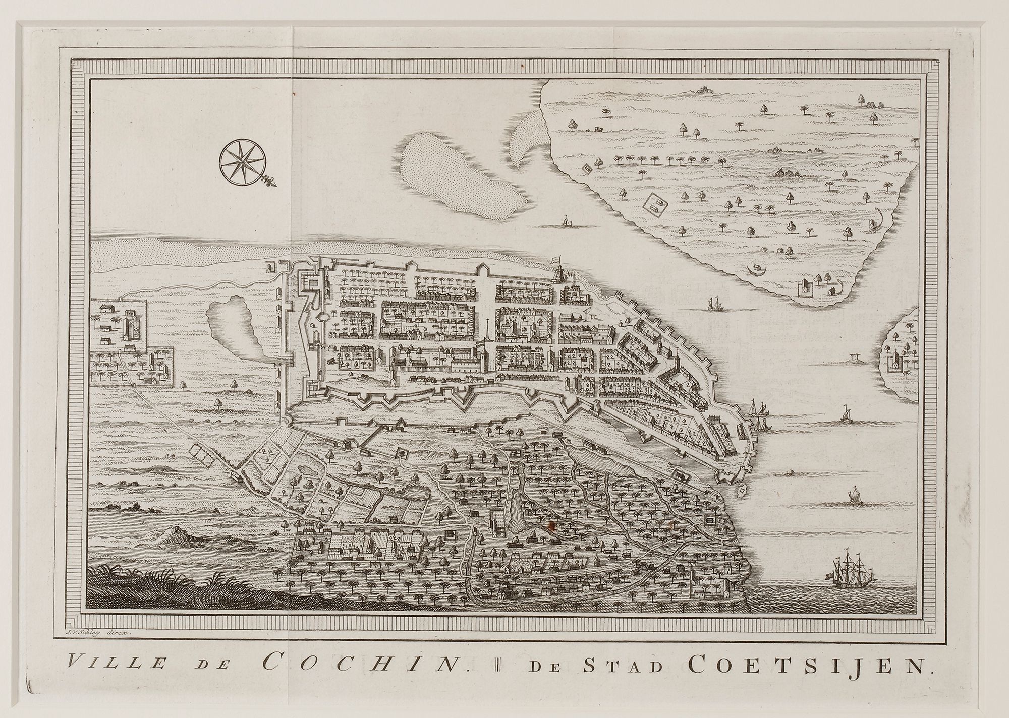
- Plan of the city of Cochin A detailed engraving of Cochin (modern-day Kochi), showing its fortified European settlement, surrounding native town, and maritime infrastructure. The map highlights the city’s strategic importance as a key trade hub on India’s Malabar Coast.