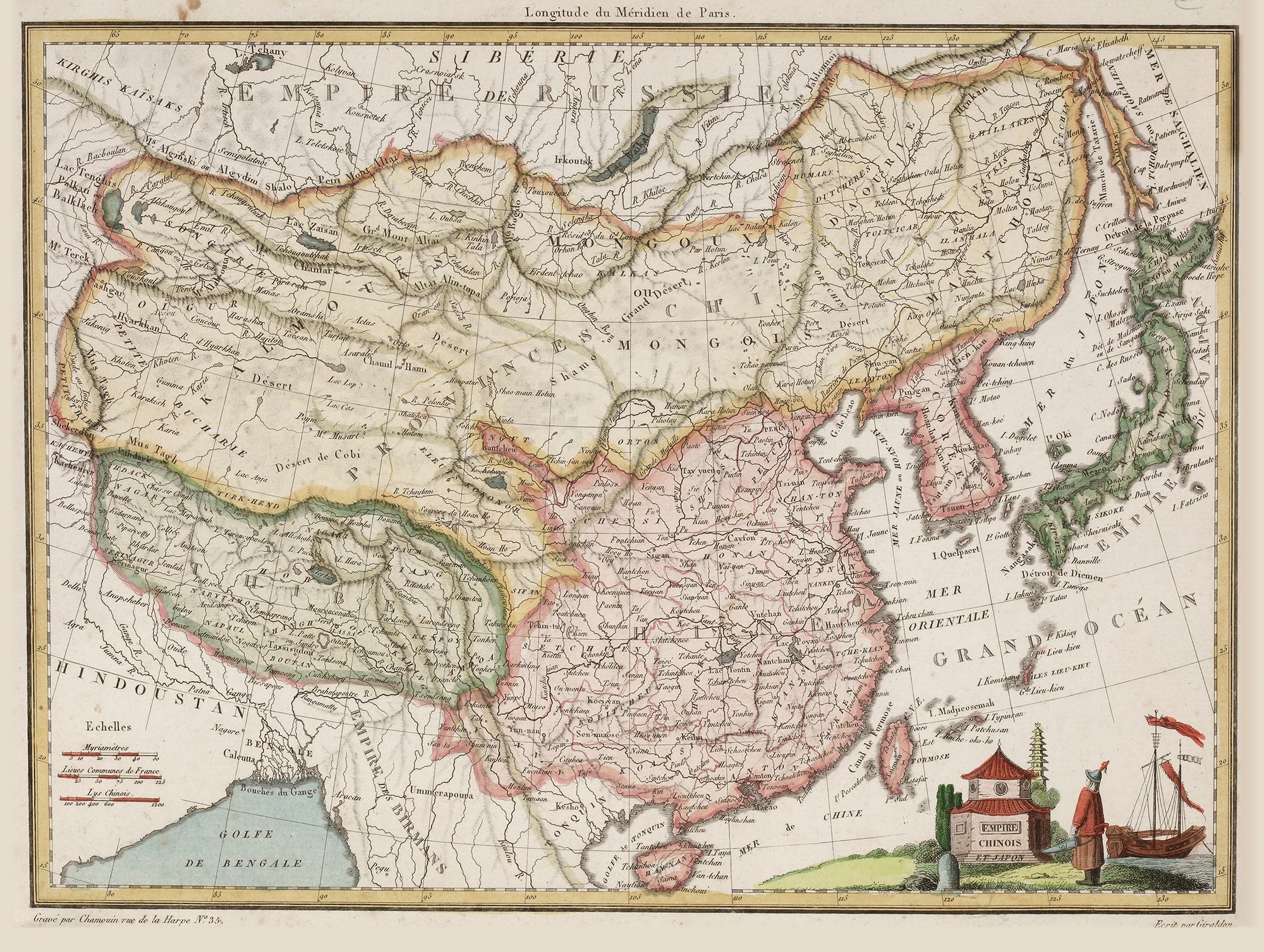
AN ANTIQUE MAP OF THE CHINESE EMPIRE, 18TH CENTURY
Reference: ART700621
A detailed 18th-century map depicting the Chinese Empire and surrounding regions, including Mongolia, Tibet, Korea, and Japan. The map is intricately hand-colored, with political boundaries and geographical features clearly marked. Engraved by Giraldon.