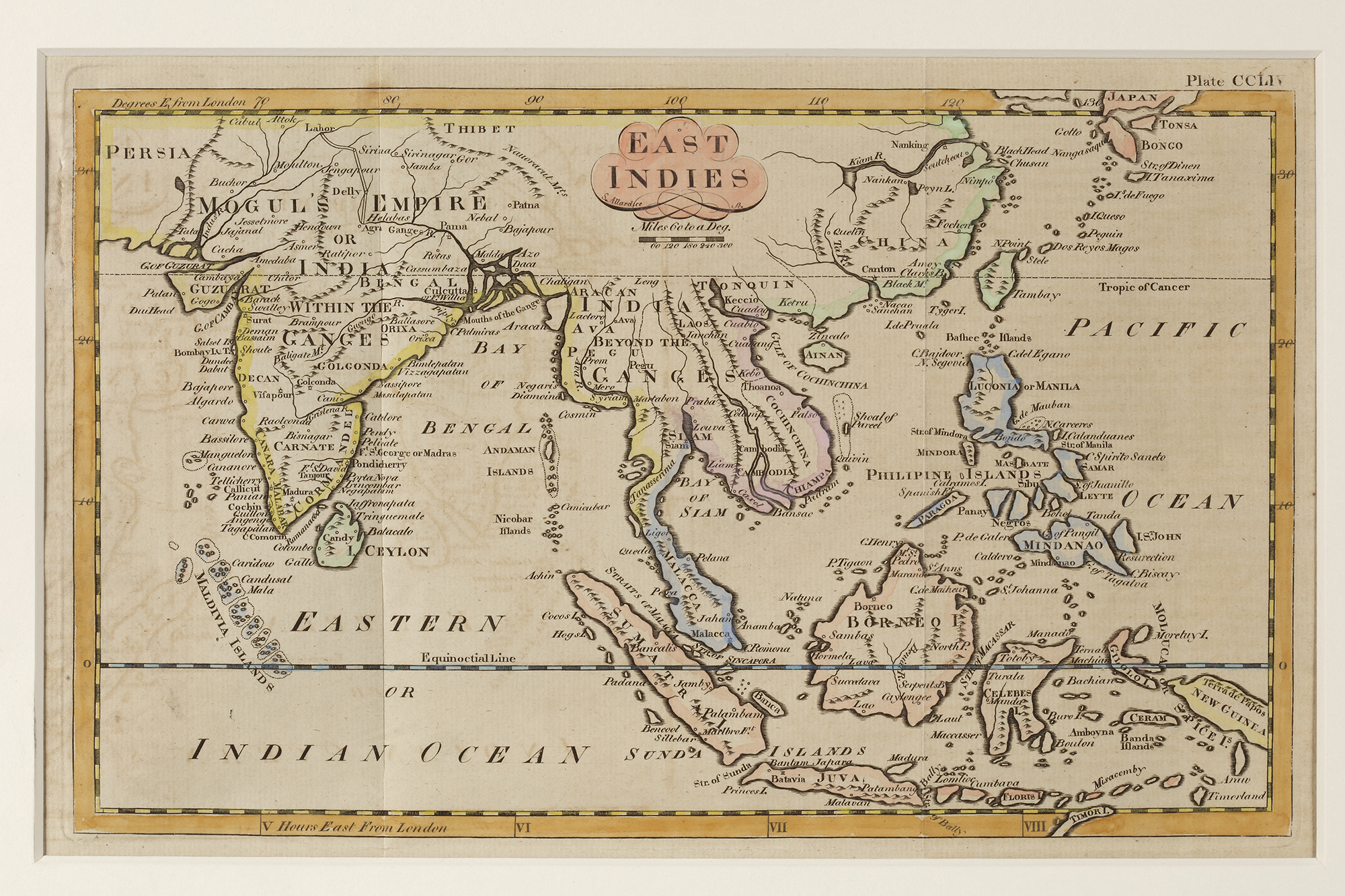
Lot 164 A MAP OF THE EAST INDIES, 18TH CENTURY
Reference: ART700611
An 18th-century map of the East Indies, depicting the Indian subcontinent, Southeast Asia, China, and the surrounding islands. The map highlights key trade routes, colonial territories, and important cities. 43 by 28 cm.