A MAP OF THE PERSIAN GULF AND BANDAR ABBAS REGION
Reference: ART700606
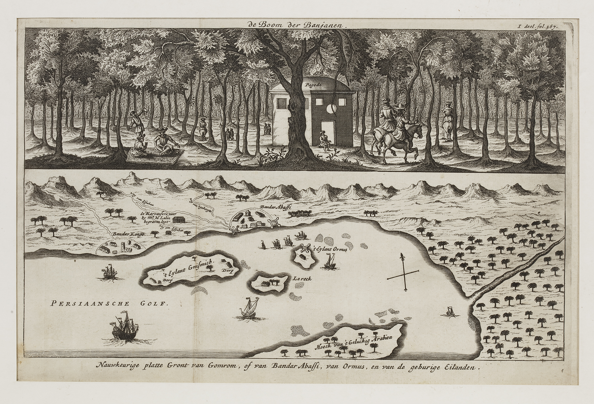
A historical map and illustration depicting the Persian Gulf, including the island of Hormuz, the port of Bandar Abbas, and surrounding settlements. The lower portion provides a cartographic representation of the coastline and key trading locations, while the upper section features an artistic depiction of a banyan tree grove with riders on horseback near a European-style building.