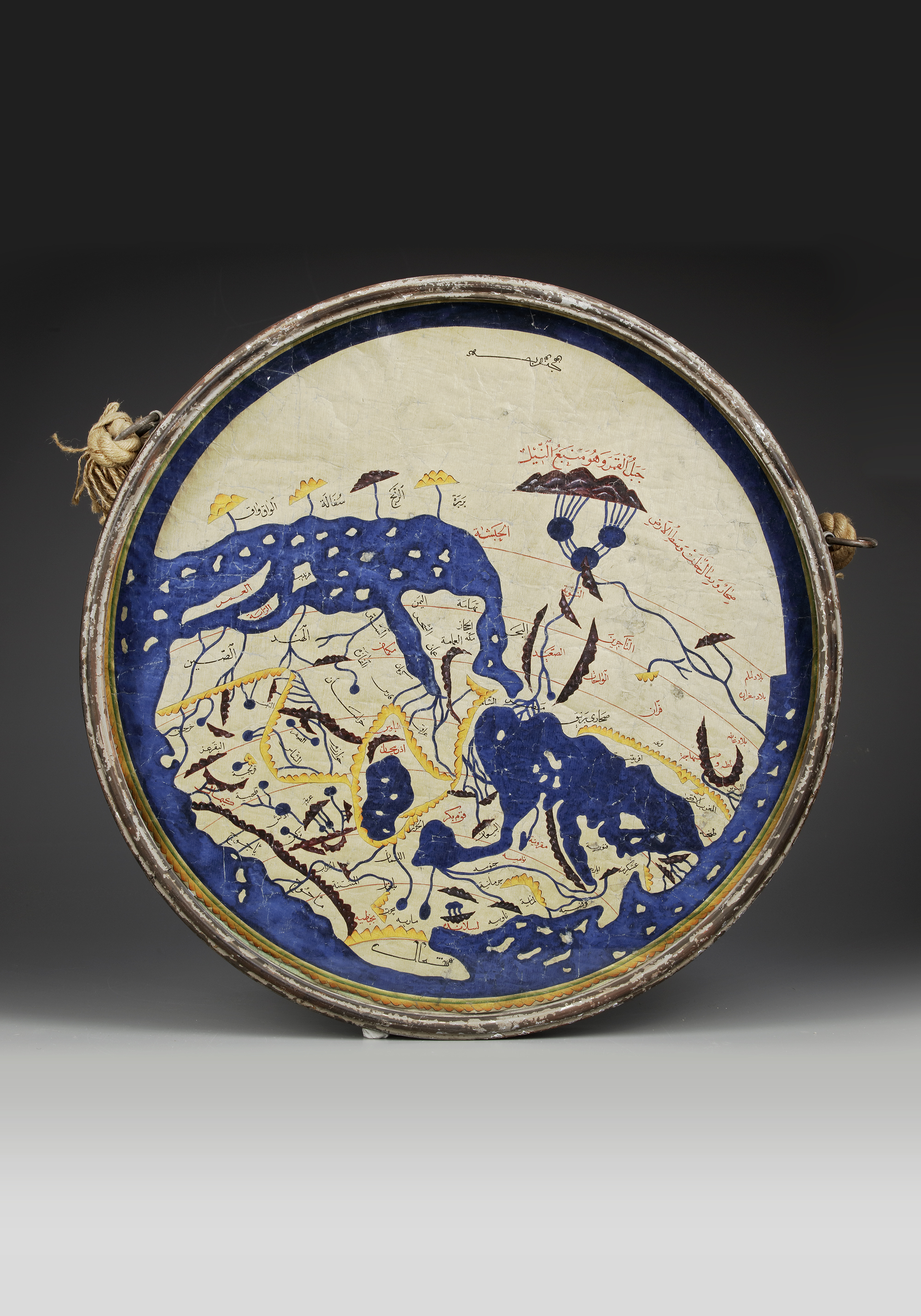
AL-IDRISI'S WORLD MAP IN NUZHAT AL-MUSHTAQ, 18TH CENTURY
Watercolor on paper, depicting Al-Idrisi's world map, the names of the places, the rivers and the mountains in yellow, black and red ink.
Note that south is at the top of the map.
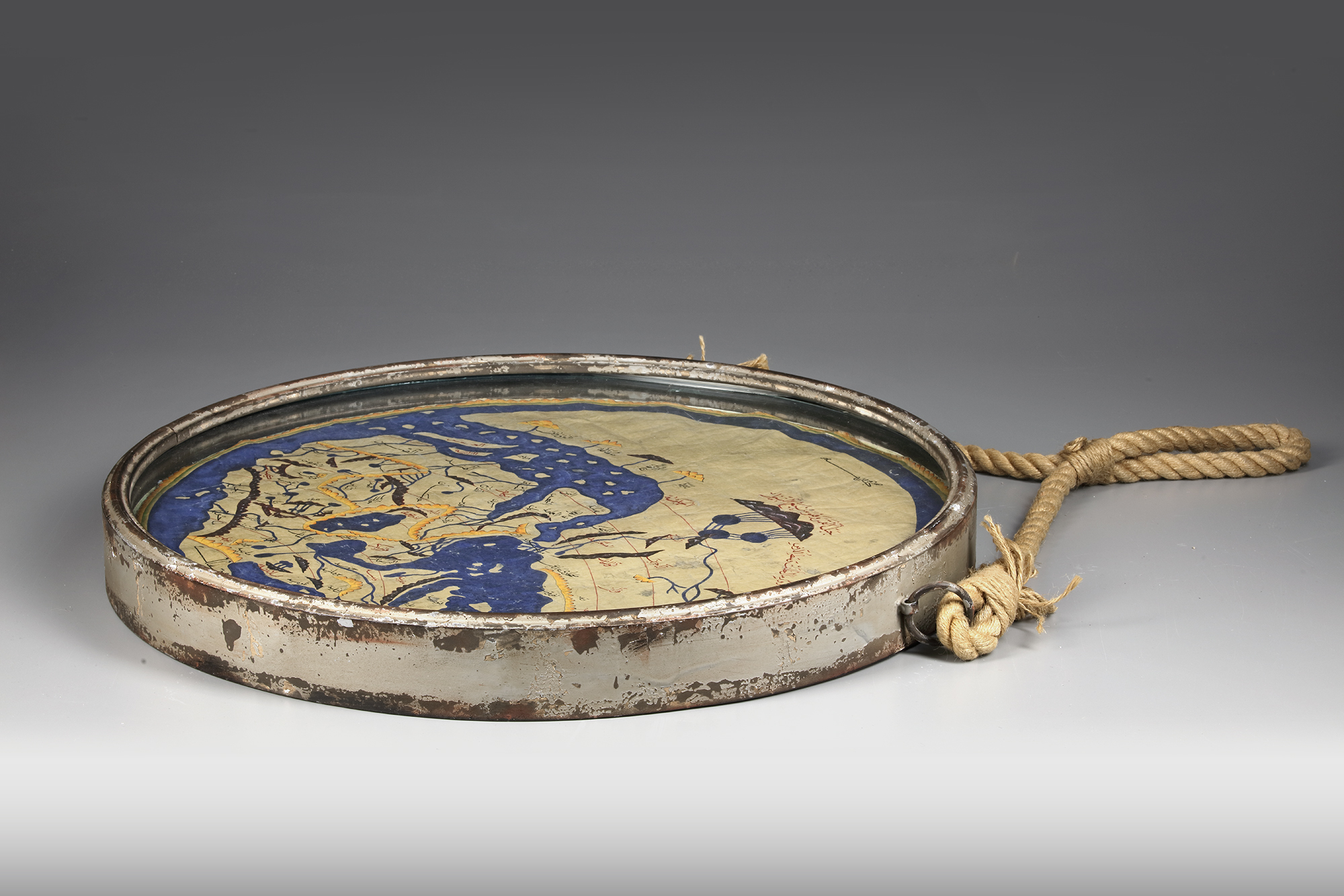
Diam.: 61 cm.
CATALOGUE NOTE
In the 12th century, scholar Al-Idrisi produced a map showing most of Europe, Asia, and North Africa for the first time. Al-Idrisi ranged widely, drawing on older knowledge and interviewing thousands of travelers to make his map the most accurate of its day. Muhammad ibn Muhammad al-Idrisi (circa 1100–66) was a 12th century geographer from al-Maghrib (North Africa). Born of noble lineage in Sabtah (the present-day Spanish enclave of Ceuta in Morocco), he studied in Cordoba. Al-Idrisi traveled extensively in the Mediterranean and Atlantic coastal regions, including North Africa, Spain, Anatolia, the northwestern coast of the Iberian Peninsula, and the coastline of France. Al-Idrisi gained the attention of Norman King Roger II (reigned 1130–54) of Sicily, who commissioned al-Idrisi to produce his masterpiece Nuzhat al-mushtaq fi ikhtiraq al-afaq, known as Tabula Rogeriana–the first descriptive geography of the world’s major population centers.